Flight conditions on the hangar TV.
Live VFR, MVFR, IFR and LIFR at hundreds of U.S. airports, drawn on FAA sectional charts and refreshed every 5 minutes from the FAA Aviation Weather Center.
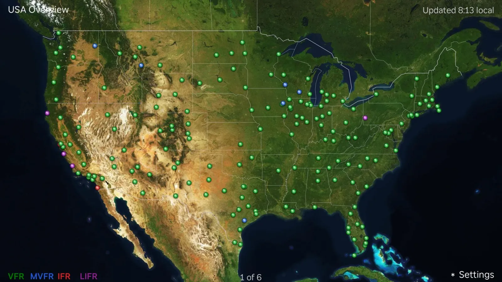
Read the sky at a glance.
Every dot is an airport's latest METAR, colored by flight category — using the same thresholds as the app.
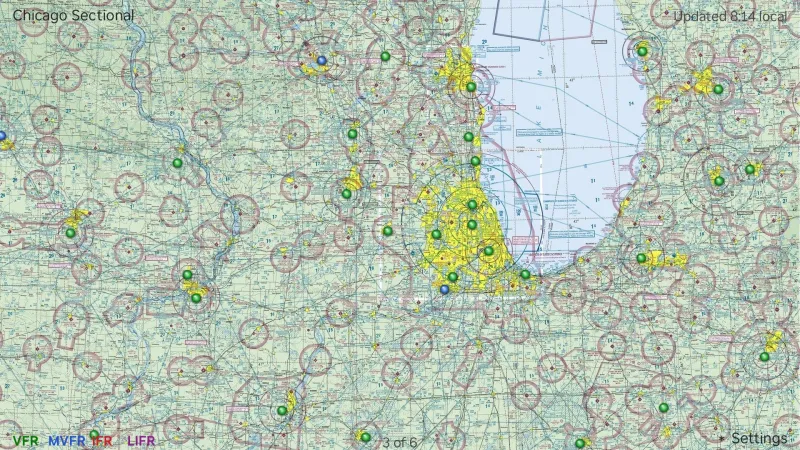
Conditions on the chart you know.
The U.S. overview and FAA sectionals rotate on screen, each airport lit in its flight category right on the chart. Choose which maps are in rotation and how long each one stays up.
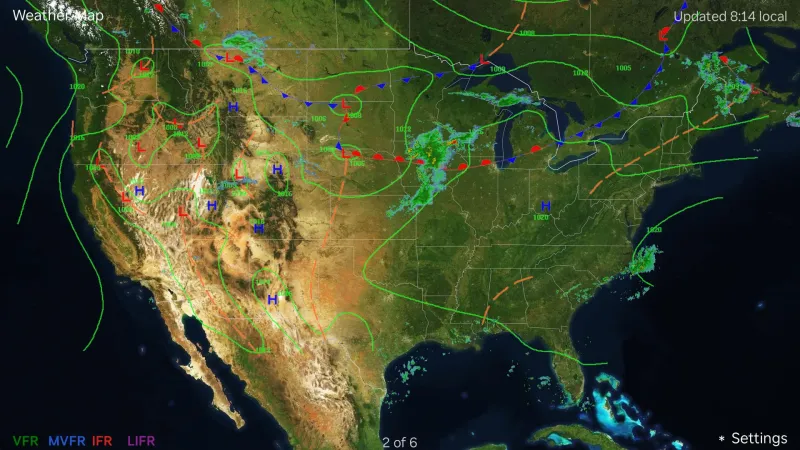
Radar and fronts in the rotation.
A weather map with NEXRAD radar and surface-analysis fronts from the National Weather Service joins the charts, so the why sits next to the what.
On the TV you already have.
Samsung TV
For Samsung Smart TVs.
Coming soonMac
A macOS screensaver.
Coming soonFor situational awareness only. Not for navigation — always consult official sources.
BlipSat — weather, radar and FBO messages over satellite text, for when you are out of cell range. PresumeNothing Aviation — consulting for flight schools, FBOs and operators, by aviators.